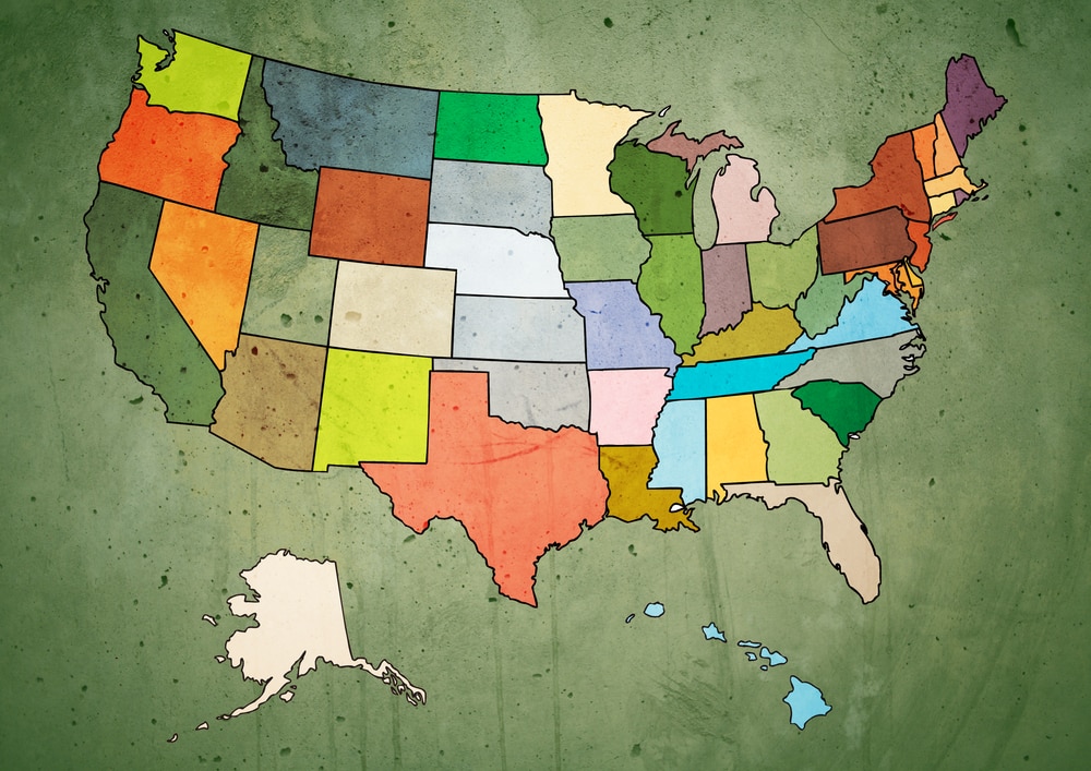
Hardiness zone map is beginning to shift north

Avid gardeners are well aware of what a “hardiness zone map” is, and most novices are probably at least familiar with the terminology based on the plant tag information found at their local garden center or big box store.
Hardiness zone maps were first developed back in 1938 – representing “the average annual extreme minimum temperatures at a given location during a particular time period”. In short, it allows growers throughout the United States to easily identify which plants are most ideal to flourish in their climate based on temperature fluctuations and frost.
Without such a hardiness zone map, plants and crops would freeze to death in some states or never reach their full growing potential based on an areas less than ideal weather conditions.
Before such hardiness zone mapping existed, most farmers and growers turned to the Farmer’s Almanac to help determine where and when to plant. But as recently as 2012, the USDA continues to heavily revise the zone mapping – guiding countless generations of growers even today.
But the zone maps are changing, and global warming may very well be the culprit.
According to an analysis by the National Oceanic and Atmospheric Administration, it seems that the plant hardiness zones have moved somewhat dramatically over the last four decades – creeping north to higher latitudes and elevations.
According to a poll conducted by the New York Times, readers were asked to describe how they saw climate change affecting their residential properties. Several people actually reported that they were already changing their planting habits due to the warmer weather conditions.
Russell Vose, who leads the Analysis and Synthesis Branch in NOAA’s National Centers for Environmental Information said warming minimum temperatures “might mean I can safely grow things now that I didn’t grow before, but by extension there may be some species that start to naturally grow where I live that didn’t used to grow there,” he said.
“Hopefully they’re not invasive species, like kudzu, but it’s a possibility.”
Canada is also experiencing similar changes to its hardiness zone mapping. Unlike the United States map, which is based only on minimum winter temperatures, the planting zones map produced by Natural Resources Canada considers a wider range of climatic variables, including maximum temperatures and the length of the frost-free period.
Kevin Kavanagh, from South Coast Gardens near the shore of Lake Erie, says, “In the past 30 years, zones have shifted northwards about 150-200 kilometres. While the trend is warming, along with that we also get more extreme weather. We don’t escape the wild swings that have given us some of the coldest weather.”
Find Your Perfect Planter!
The HC Companies offers a wide variety of greenhouse, nursery, sustainable, and retail planters and pots. Find the one that's right for your growing operation today!
Browse Products

 Find the Perfect Planter